Geological
What is a geological investigation??
Geological investigations concern the analysis of the composition and structure of the earth, whether natural or human-made. For example, during the design and delivery of construction engineering projects, the variable or unknown condition of the ground can pose risks both technically and financially. Consequently, geological, or geotechnical investigations offer a way to quantify ground conditions at various stages of such projects.
Initial studies for a project may include a recce of potential project sites and their underlying ground conditions. While a more detailed review of the selected location can help determine the development requirements. During construction, ongoing investigations can qualify earlier findings or provide additional information. GPR can play an active role in each of these scenarios, including the ongoing management and maintenance of project assets upon completion.
Why use GPR for geological investigations?
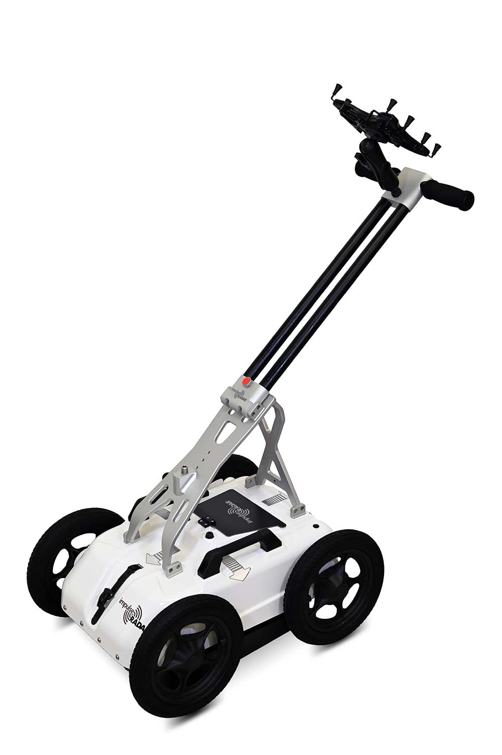
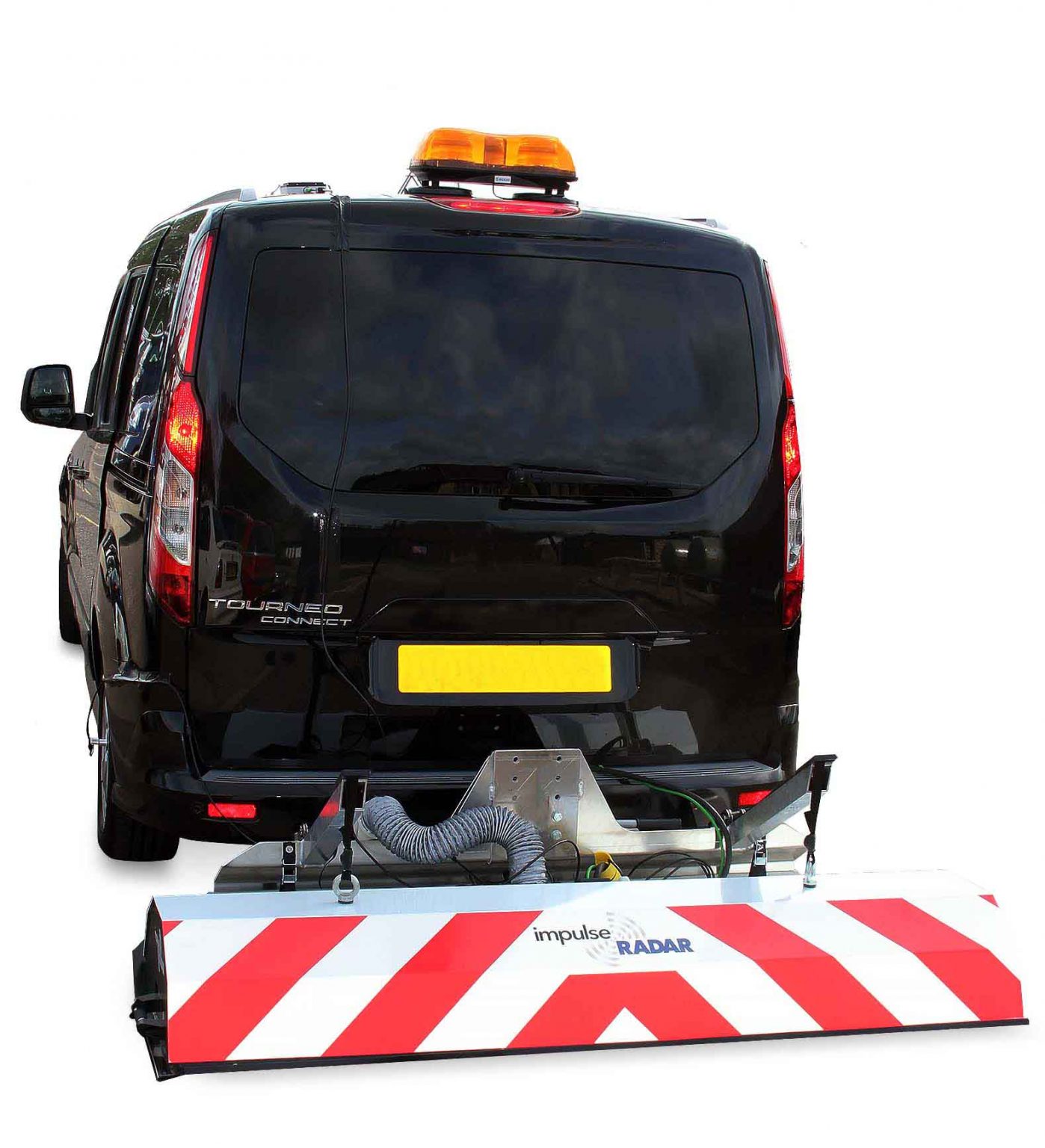
As a near-surface geophysical technique, GPR in non-intrusive and non-destructive and offers the best resolution in the near-surface compared to other geophysical methods. For that reason, GPR is a popular choice for ground investigations, and under optimum conditions, GPR can work to depths of 15 – 50 m or more.
GPR can see into the structure of the ground to provide accurate information concerning the depth to subsurface features, objects, as well as the interfaces between contrasting geological layers. This ability enables the mapping of layer boundaries to determine their thickness and to spot anomalies associated with subsidence or erosion, which could indicate the formation of cavities or problematic sinkholes as well as risk-zones for landslides.
Compared to other geophysical methods, the deployment of GPR is typically quicker, more straightforward, and lower cost.
Typical geological applications for GPR include:
-

Bathymetry – freshwater lake and riverbed investigations
Bedrock profiling
Characterising aggregate deposits
Fracture mapping
-
Karst investigations
Sinkhole investigations
Stratigraphy studies
Electricity cables
Water table studies