Archaeology
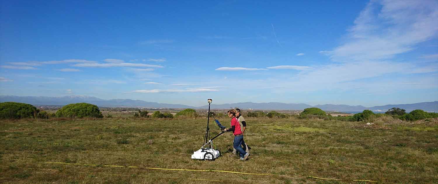
Ground penetrating radar (GPR) presents the archaeologist with a way to non-destructively and non-intrusively image the hidden and lost world below. Of all the geophysical technologies in the archaeologist toolbox, GPR is generally accepted as the easiest to deploy with the best data resolution.
GPR offers a convenient, reliable, and non-destructive way to investigate the sub-surface, which streamlines the traditional excavation work of archaeologists. Surveying brown and greenfield sites can indicate areas of interest before breaking ground and avoid damage to more modern buried assets such as utility networks. Ultimately, GPR enables more effective project planning to save time, effort, and money.
Typical areas of use GPR:
- Site investigation, assessment and virtual reconstruction
- Artefact location and mapping
- Grave location and mapping
- Structure location and mapping
Related products
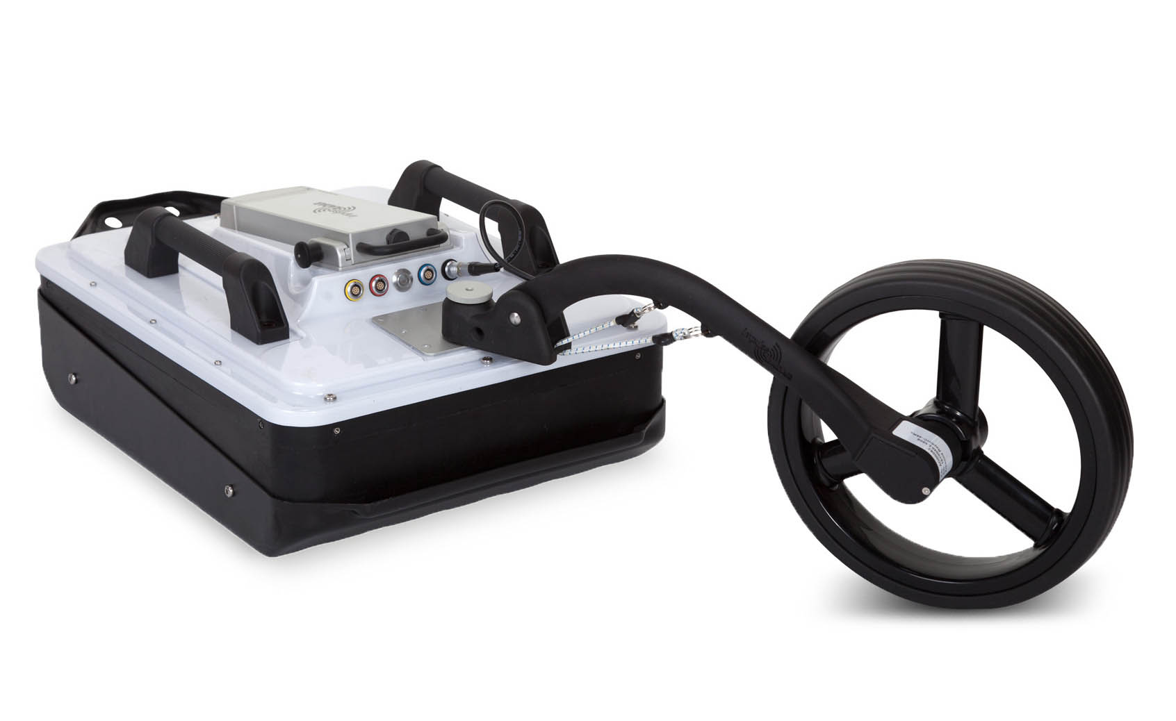

CrossOver
When using a CrossOver system, an operator typically lays out a grid of survey lines to follow. These individual lines are usually processed and interpreted in 2D software, such as CrossPoint. This method allows targets and other points of interest to be picked and indicated on a map, along with supporting information such as the depth, etc. All CrossOver antennas are true dual-channel, offering two frequency/resolutions simultaneously. They are built on the latest, real-time-sampling technology to give the best signal-to-noise ratio and depth penetration on the market.
Furthermore, CrossOver systems allow the connection of external RTK-GPS, which, when combined with the internal time-sync, offers centimetre positioning precision. Therefore, CrossOver systems are the best in class 2D GPR solution for archaeological applications and represent the highest value for money by comparison.
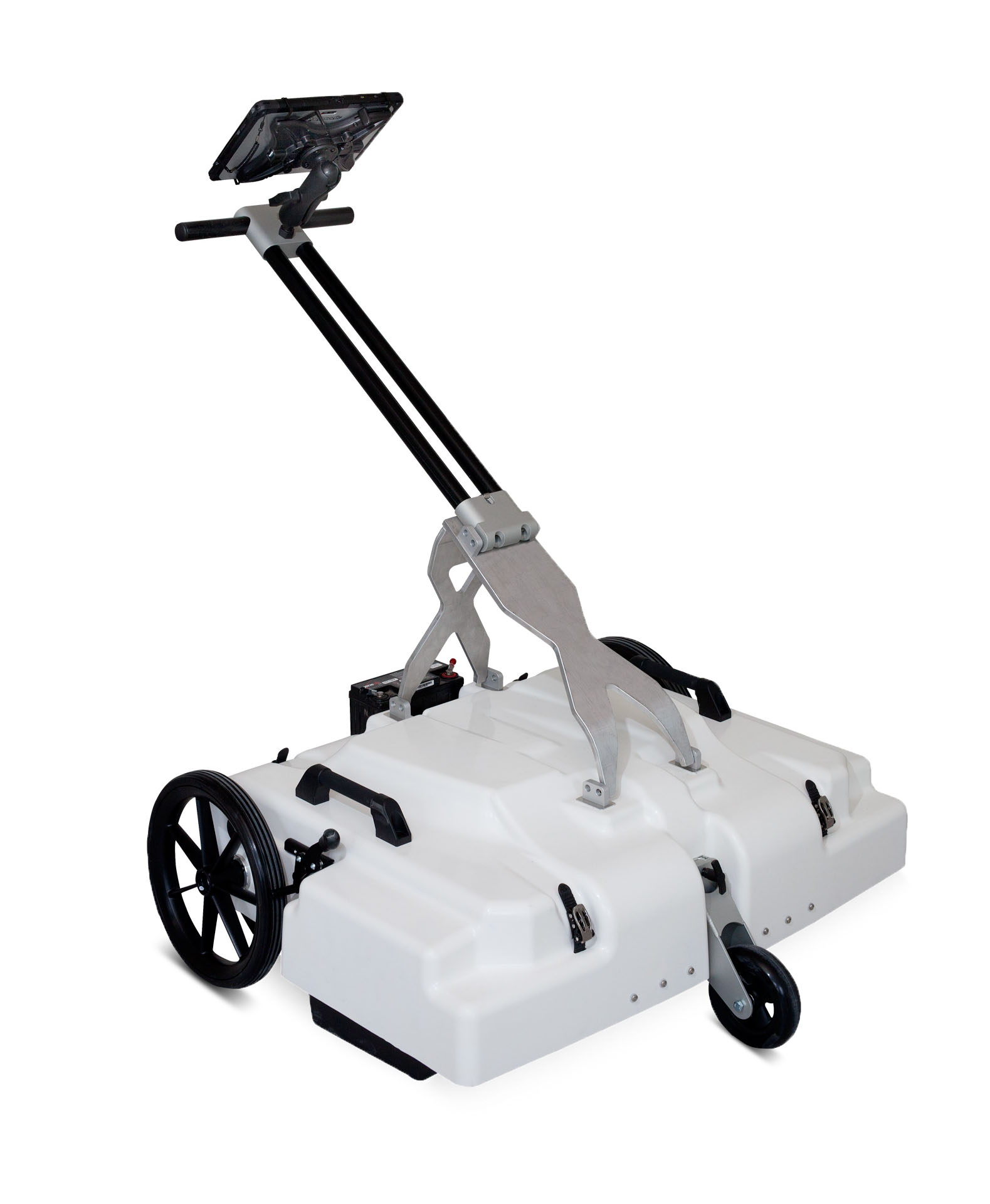
Raptor
When even greater precision and efficiency is required, a 3D GPR mapping solution takes archaeological investigations to the next level. The Raptor series represents state-of-the-art 3D GPR array technology and offers archaeologists an effective way of maximizing data collection with more detailed results. This method gets rid of the need for time-consuming grid mark-outs. It mitigates risks to data quality by eliminating ambiguities that result from not following such grids properly, or the spatial under-sampling of 2D data.
While the actual field deployment of 3D GPR systems is more elaborate, one can justify this by the overall efficiency gains, such as reduced survey time, and the higher density and quality of the collected data. Unlike 2D systems, 3D GPR systems are entirely dependant on precision external positioning with centimetre accuracy, which requires some thought and preparation before conducting a survey. However, this extra initial effort pays dividends during the subsequent data interpretation process.
Raptor collects radar data in lines separated by approximately eight centimetres or less so that no targets are missing/aliased, and will reveal all that can be detected by GPR technology. Although 3D GPR data processing is more advanced, this process becomes less so with the help of Condor, which makes the processing and interpretation process more straightforward than for 2D-data. The final images are sometimes close to photographic quality.
3D GPR mapping is the ultimate method of precision, for noninvasive mapping of archaeological sites. As an end-to-end solution, Raptor and Condor maximize efficiency and provide the highest level of data quality available on the market.

Why is GPR useful to archaeologists?
-

Assists in the assessment of archaeological features before excavation
Aids in excavation planning by localizing artefacts and other features of interest
Assists in the allocation of manpower and other resources to specific areas of interest
-
Detect and map lost or unmarked graves
Understand the underlying geological structure
Assist in the management of cultural heritage sites
The ImpulseRadar CrossOver and Raptor series provide archaeologists with the following benefits: